
Orange County Neighbor Sources
A block lookup for Orange County neighbors is a layered map of sources. OC GIS supplies geometry and APNs. The Assessor and tax search can add assessee, mailing, situs, assessment, or tax-status clues. Deeds show named transfers. Voter data is available only through the rules that govern approved access. Associations and reverse directories add voluntary or historical context. None of these layers is a complete list of every person who lives near an address.
| Source | What It Shows About a Block | Access |
|---|---|---|
| OC GIS parcel layer | Parcel geometry, APN, shared boundaries, and nearby polygons | Free ArcGIS viewer and service tools |
| Assessor and tax roll | Assessee, mailing or situs clues, assessment, and tax linkage | Web route, tax inquiry, or Assessor counter |
| Recorded deeds | Named owners, transfers, legal descriptions, and dates | Free index; copies through Clerk-Recorder process |
| Voter data | Approved-file registration and address fields where lawfully supplied | Self-lookup or approved Elections Code purpose |
| Neighborhood associations | Published officers, board contacts, and civic channels | City pages or voluntary public contacts |
| Reverse directories | Historical listed householders or subscribers by address | Library, archive, or licensed collection access |
Read the table from left to right. A parcel shows where land is. A deed shows a transfer. An association shows who chose to publish a contact. A neighbor lookup should never collapse those different facts into an unsupported occupancy claim.
Orange County Neighbor GIS Parcels
The OC GIS parcel service is the most direct Orange County neighbor starting point. Zoom to the known address until the parcel polygons appear. Identify the subject polygon, save its APN, then click each parcel that shares a boundary or sits within the chosen block view. The service supports Identify, Find, Export Map, and Query. It is a geometry and APN layer, not proof that a taxpayer lives at the displayed parcel.
Use a small map view instead of a countywide extraction. The parcel service sets a maximum query count of 1,000 and a maximum selection count of 2,000. Keep the map scale and date with an export or screenshot. A narrow block view is easier to check against the assessment and deed layers, and it avoids treating a broad ZIP or city label as a block boundary.
For Orange County neighbors, the process is simple: address, subject polygon, APN, adjacent polygons, assessment or tax clue, then deed or other custodian. Each arrow changes the question from location to record.
- Search or zoom to the subject address and confirm the parcel shape.
- Open the subject attributes and record the APN and visible jurisdiction clue.
- Click adjacent polygons and record their APNs without labeling anyone an occupant.
- Compare each APN with assessment, tax, and recorded-document sources where appropriate.
Note: Orange County GIS is useful for parcel adjacency, but a map query is not a substitute for a person roster.
Orange County Neighbor Block Data
GIS identifies the land. The Orange County Assessor property and parcel-map route sends users to ParcelQuest for assessment information and parcel maps. Assessment data and property characteristics are also available at the public counter at 500 S. Main Street, second floor, Orange. The Assessor main line is 714-834-2727, generally Monday through Friday from 8 a.m. to 5 p.m. Use the Treasurer-Tax Collector tax search for a current secured-property-tax inquiry when it fits the question.
Assessment data can show an APN, situs, assessee or owner display where lawful, mailing address, values, tax status, parcel map, and property characteristics. For Orange County neighbors, a mailing address can belong to an agent, trust, business, post-office box, or other property. A homeowner exemption can be an owner-occupancy clue for a lien date, but it does not identify every household member. Confirm transfers through the Clerk-Recorder rather than a third-party summary.
For data not already supplied, a focused CPRA request should name an existing, identifiable nonexempt roll or dataset. It should not ask an agency to decide who lives on a block or create an unrestricted owner list.
Orange County Owners and Neighbors
A deed names parties to a transaction. The RecorderWorks index is free, but images are not exposed online. The recorded deed can add the legal description, vesting, grantor, grantee, and recording date after a copy request. Bring the saved identifier to a Clerk-Recorder service location, or use the mail-copy route to 601 N. Ross Street, Santa Ana, CA 92701. The office phone, 714-834-2500, answers procedure questions but staff do not perform the search. The published copy charge is $1 per page plus $1 certification per document or map. The owner may be a trust, entity, mailing agent, or person who does not occupy the parcel. The resident lookup question must therefore stay narrower than the owner question.
Permits and code cases have the same boundary. A permit can identify a parcel, applicant, contractor, project, dates, and status. An applicant may be an architect or contractor. Active-investigation material and personal contact details may be withheld. Utility accounts, delivery records, and DMV addresses are not public block lists. Household members may have no appropriate public record at all.
Keep the language in notes precise: “owner shown in a dated assessment or deed record” is supportable; “neighbor who lives there” requires evidence the cited source does not usually supply.
Note: An APN is a strong land key, but it does not turn a parcel polygon into a household roster.
Orange County Neighbor Voter Rules
California’s My Voter Status service is a self-lookup. A voter can review their own registration and election information, but it is not a public name directory. Full voter data is controlled by Elections Code section 2194 and 2 CCR sections 19001 through 19013. Orange County’s written route requires a wet-signature application, proper payment, supporting material, and a photocopy of official photo identification for mail orders. The Registrar of Voters address is 1300 S. Grand Avenue, Building C, Santa Ana, CA 92705.
Approved election, scholarly, journalistic, political, and governmental purposes can support a request. Personal, private, commercial, solicitation, harassment, and export uses are prohibited. The data field inventory can include name, residence and mailing address, phone, email, language, date of birth, gender, party, status, precinct, registration method, birthplace, assistance flags, and participation history. Safe at Home participants can register confidentially.
The Orange County voter-data instructions describe the application, delivery, payment, and identification route. The Secretary of State voter-data rules define the wider field and use limits.
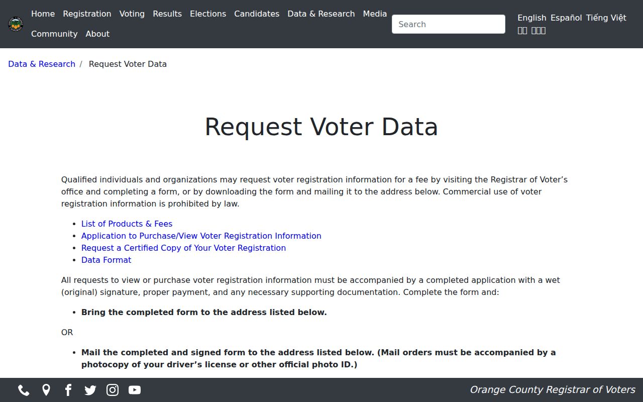
The voter-data request image belongs here because a block-level voter question is governed by purpose and access rules, not by the presence of nearby parcel polygons.
A general public-record request is not a workaround. The voter statute controls the specific file, and confidential records remain shielded across online, mail, and in-person channels.
Orange County Neighbor Associations
Neighborhood associations are fragmented across Orange County’s 34 cities and unincorporated communities. Public city pages, homeowner-association board pages, chamber listings, CERT and Neighborhood Watch contacts may publish an officer, board, meeting, or contact route. They usually do not publish a member roster. A public contact is a way to ask about a community, not a shortcut to every household.
| Public contact layer | What may be available | What it does not establish |
|---|---|---|
| City neighborhood-association list | Association name, civic contact, or meeting route | Private membership or all nearby addresses |
| HOA board or community page | Board officers and published contact information | Household roster or private owner data |
| Orange County Historical Society | Local history contacts and research leads | Current resident directory |
| Orange County California Genealogical Society and North/South OC groups | Research networks, cemetery or family-history leads | Official certification or member list |
| OCPL memory projects | Community stories, images, and local context | A complete block roll |
The OC Public Libraries local-organizations page identifies several Orange County genealogy and archive contacts. These contacts can help neighbors find community history, but ask before assuming a group performs a lookup, charges a fee, or holds a particular street record.
Note: An association directory may describe a community or service area, not every household, owner, or current neighbor on a block.
Orange County Neighbor Boundaries
An Orange County neighbor lookup can cross a government boundary without crossing a block. North Tustin, Rossmoor, Midway City, Silverado, Williams Canyon, Modjeska, Trabuco Canyon, Las Flores, Coto de Caza, Ladera Ranch, and Rancho Mission Viejo are examples of postal or community labels that may not map to an incorporated city office. County public works and GIS cover unincorporated land, while city departments handle their own address and permit records.
Use the parcel geometry and visible jurisdiction clue before sending a permit, code, planning, or CPRA request. A postal city is not proof of municipal jurisdiction. The same method protects a block search in canyon, coastal, master-planned, and older grid areas.
Record the map source, parcel identifier, city or county custodian, and date. That small note keeps an association contact, owner record, and government boundary from being mixed together.
Orange County Historical Neighbors
For a past block, reverse or criss-cross directories can order a street by number and list a householder, subscriber, business, or cross-street clue. OCPL, municipal libraries, FamilySearch, and licensed genealogy databases are access paths. Ancestry Library Edition and OCPL Digital Newspapers have in-branch limits. A directory entry is a historical listing, not a complete household record, and a missing year can reflect an omission, relocation, death, or publication gap.
Pair a reverse entry with the public federal census through 1950, a deed or legal description, a Sanborn sheet for old Santa Ana, and a newspaper or obituary. The deed supplies ownership. The directory supplies a listed address contact. The census supplies a household snapshot. The map supplies building context. Keeping each role separate is how an Orange County neighbors block history stays useful.
For the full named-street chain, switch to the Orange County street directory workflow. The neighbor layer should stay with adjacent parcels and the immediate community rather than rebuild an entire street.
Note: Historical neighbor research becomes stronger when the map, directory, census, and parcel clue share an address and an identifiable date.
Orange County Neighbor Records
Official sources and commercial neighbor tools answer different questions. An official parcel or deed record has a named custodian, defined fields, and a date. A commercial tool may compile public and purchased data, merge names, or lag behind a source update. Neither category should be treated as an automatic occupant list. A lawful Orange County neighbors question still requires source verification.
| Source category | Strength | Limit |
|---|---|---|
| OC GIS and parcel records | Boundary, APN, and adjacency | Does not prove residence |
| Deed and assessment records | Named transfer or dated property clue | Owner or mailing clue is not every occupant |
| Public association contacts | Voluntary community connection | Usually no private roster |
| Commercial neighbor tools | May gather several public-data clues | Accuracy, freshness, identity merging, and lawful-use limits vary |
The California Megan’s Law site is a separate official registry with its own statutory warning, not a casual neighbor directory. Its presence near a block does not establish that a registrant is a current neighbor, and it must not be used to harass.
Read the California Megan’s Law access page for the registry’s own use limits.
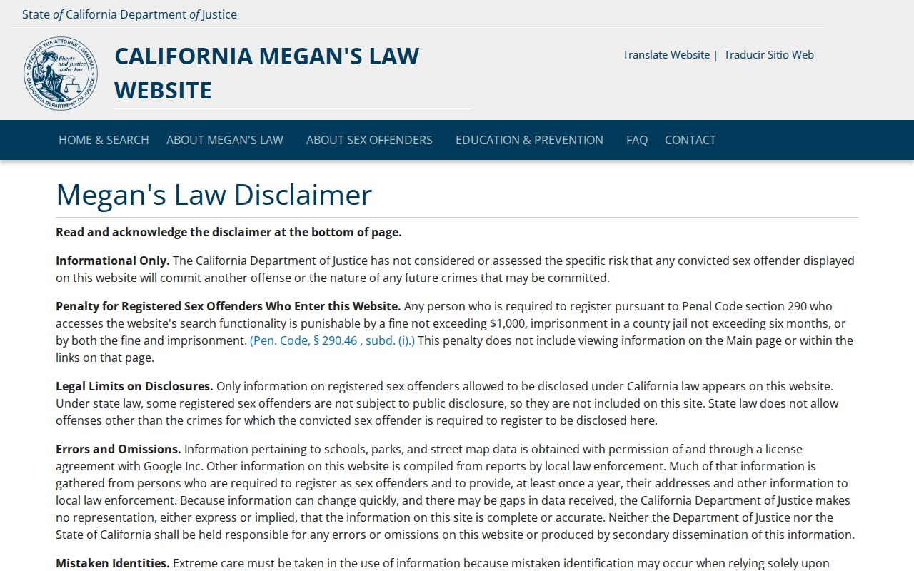
The registry image reinforces the distinction between a named official tool and an inference about the people who live around an address.
Privacy Limits for Orange County Neighbors
California Safe at Home operates under Government Code sections 6205 through 6216. Qualifying participants can use a substitute mailing address and confidential voter registration. The program does not retroactively erase every old public record, but it changes how protected address information is handled. DMV data, utility accounts, household members, and confidential voter records stay outside a casual block search.
The Safe at Home governing-law page is the right source for current statutory and regulatory information.
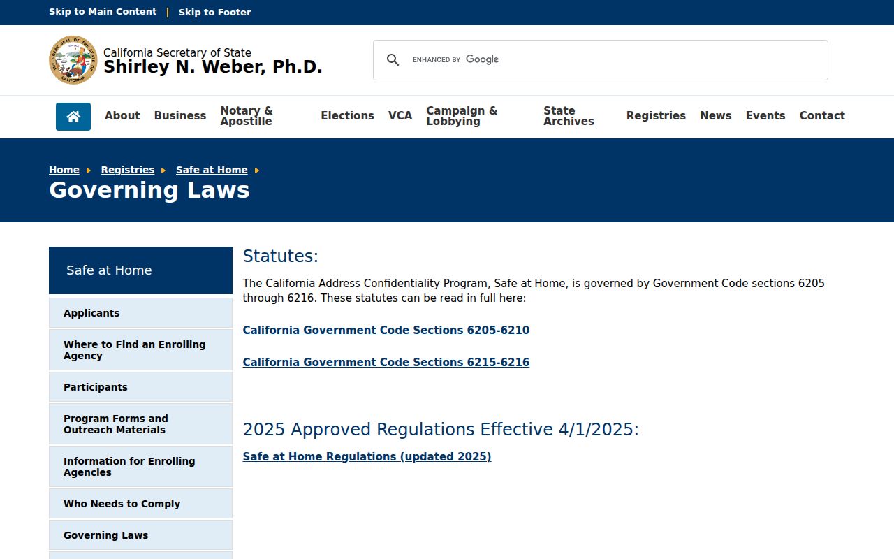
The Safe at Home image belongs with the privacy boundary because a nearby parcel does not cancel a protected person’s confidentiality.
Lawful use. Orange County neighbor research is for personal, lawful block awareness, family history, and civic contact. Do not use a parcel, voter, association, registry, or compiled result to stalk, harass, threaten, or intimidate a person.
Note: A map can show who owns nearby land, but only a source with a lawful, dated occupancy field can support a claim about who lives there.